
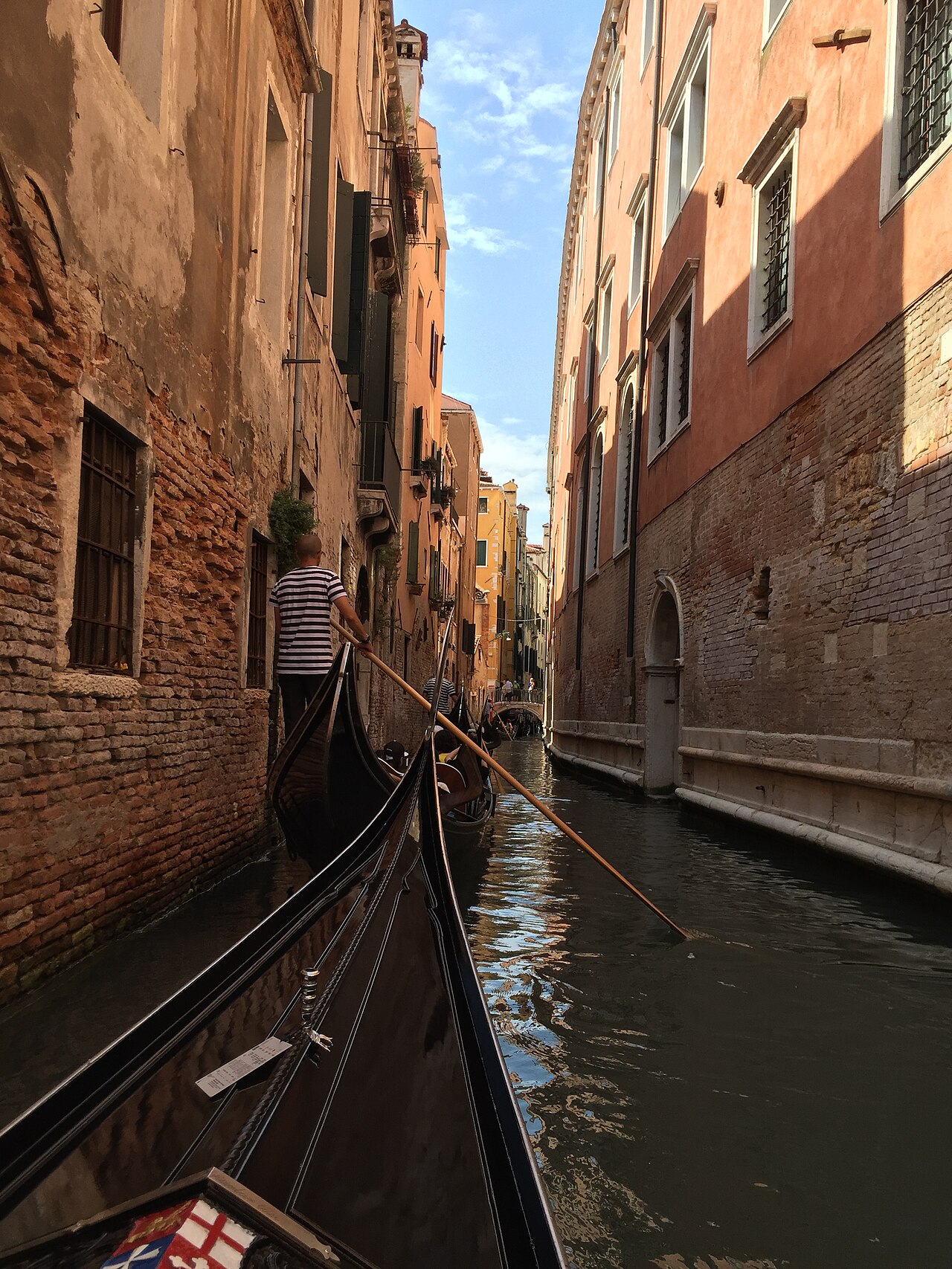
Geotagged CC0 photo · production model run
Venice, Italy
LikelyGondolaCanal
See how it was solved
Free AI Photo Locati0n Finder — no sign-up, no captcha
Where is this place located? Upload the photo you're wondering about and find out — in about 30 seconds. The AI shows the most likely places in the world, the clues that point there, and a map you can verify yourself. Free, no account, no captcha, no one-search-a-day limit.
Photos are auto-deleted within 24 hours. Never used for training.
No photo handy? Ask "where is this place located?" about one of ours: A street corner·An old family photo·A travel screenshot
Real cases — with receipts
Each example below was run through the same production analysis used for uploads. We publish it only when the top city agrees with the photo's independently documented location. Open any report to inspect the unedited clues, candidate map and source credit.
The top 3 candidate places, ranked by likelihood
A confidence level and evidence-supported precision label — never GPS precision for an AI estimate
Traceable source photo · production model run
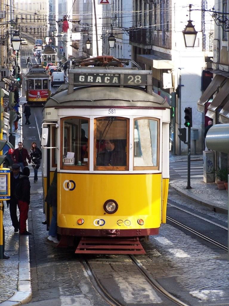
The unedited visual clues produced by the same model used in the product
One conclusion map beside the source photo, with a Google Maps link
Photo author, license, documented coordinates and model-run provenance
The top 3 candidate places, ranked by likelihood
A confidence level and evidence-supported precision label — never GPS precision for an AI estimate
The unedited visual clues produced by the same model used in the product
One conclusion map beside the source photo, with a Google Maps link
Photo author, license, documented coordinates and model-run provenance
These are reproducible production runs, not handwritten demos. Each report retains the raw model output, file hash, source license and an independent ground-truth check. Candidate coordinates remain estimates at the precision shown.
The exact pipeline — stage by stage
To answer "where is this place located," we check the photo's hidden GPS data first. If that's been stripped — social apps remove it — the AI reads the visible clues and finds the locati0n from the image itself. The exact pipeline, stage by stage:
exif.gps38.7169° N · 9.1393° W
exif.datetime2019:06:14 17:02
upload.photonone — parsed locally
GPS, timestamp and camera tags are parsed locally, before anything is sent. If coordinates survive, you get the exact photo locati0n instantly — labeled as metadata, not an AI guess.
In your browser · photo not uploaded
The AI reads what's actually in the frame — script and signage, road markings, architecture, vegetation, plates, terrain — and writes down each clue as observed → inferred. It isn't allowed to cite anything it can't see.
Vision pass · 8 clue families
A separate verification pass re-checks every cited clue against the pixels. Clues the image can't back up get thrown out before you ever see them — and we publish the discard rate.
Second pass · failed clues discarded
The three most likely places, each with a confidence level you can act on — including an honest "not enough evidence" when the photo doesn't give enough away.
Top 3 · calibrated confidence
The report places the source photo beside one OSM/CARTO conclusion map. The precision label tells you whether the model supports a city, district or street-level candidate.
OSM/CARTO map beside the source photo
The full clue list, the candidate map, source provenance and a report you can save, send, or post — evidence, not just an answer.
Candidate map · clue list · shareable report
Eight clue families — what the AI reads
The same way the geo-detectives who solve "where is this place located?" threads on Reddit do — reading what's visible in the frame. Just in seconds instead of hours. Eight clue families do most of the work:
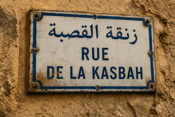
One street sign narrows the world to a handful of countries.
"Rua", not "Calle", separates Portugal from Spain. Cyrillic alone cuts the search to about a dozen countries.
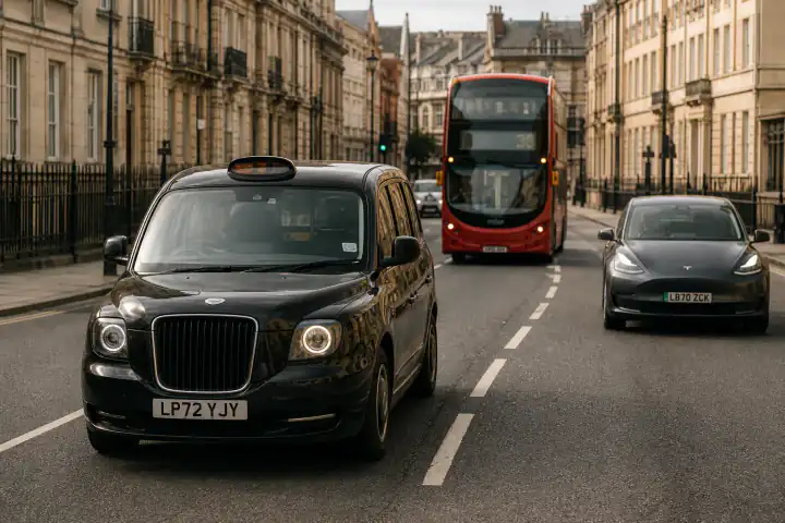
Left or right traffic cuts the map in half.
Left-hand traffic survives in ~75 territories — Japan, Kenya, the UK. A yellow rear plate alone points British.
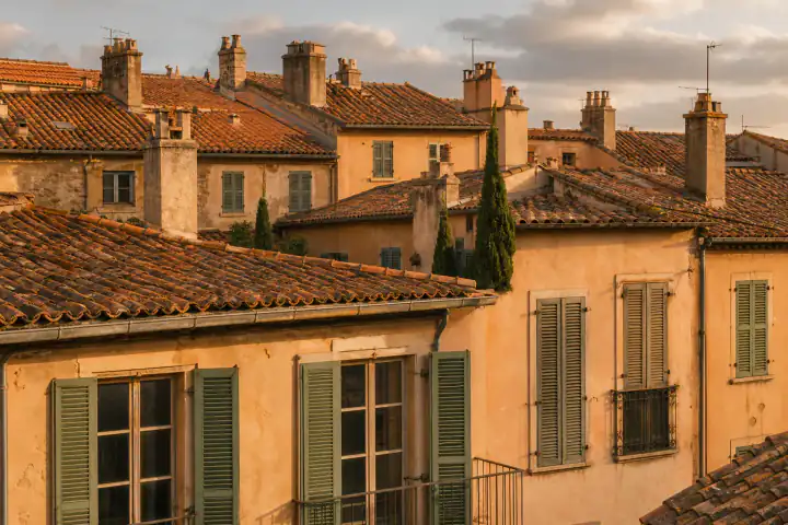
Buildings are regional fingerprints.
Azulejo-tiled façades say Portugal; wooden slope houses with rope handrails read as a Japanese hill town.
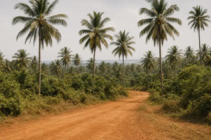
Palms, birches, red soil: nature places a photo fast.
Red laterite soil narrows to East Africa, India or Brazil. A birch forest pushes the guess far north.
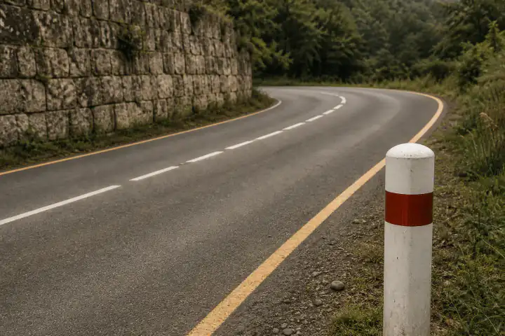
Line colors and bollard shapes are nearly country-unique.
Yellow center lines dominate the Americas; white, most of Europe. France's red-topped white bollards are near-unique.
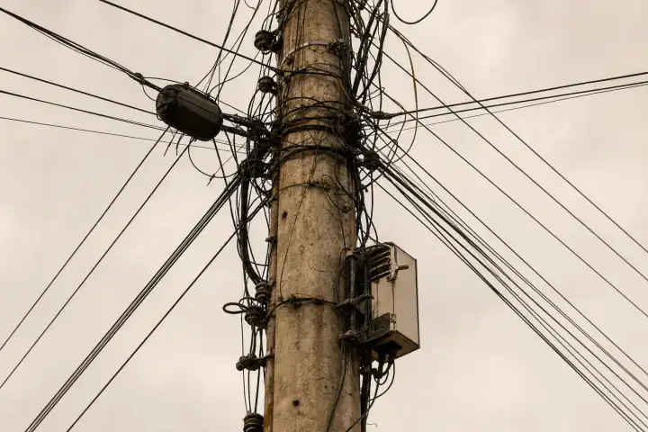
Infrastructure rarely lies.
Concrete poles wrapped in transformers and cable are a Japan–Korea signature; bare wooden poles read North American.
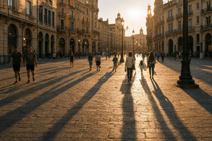
Direction and length hint at hemisphere and latitude.
Shadows falling south at midday put you in the southern hemisphere — before reading a single sign.
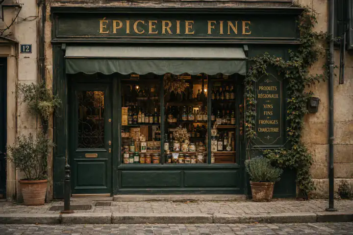
Taxi colors and chain stores are intensely local.
Black cabs say London, yellow says New York. A 7-Eleven with Thai script shortens the city list fast.
That's why this works when you ask where is this place located with no GPS, no EXIF, and no match anywhere online — exactly the cases where a reverse image search comes back empty.
Screenshots · old photos · photos people send
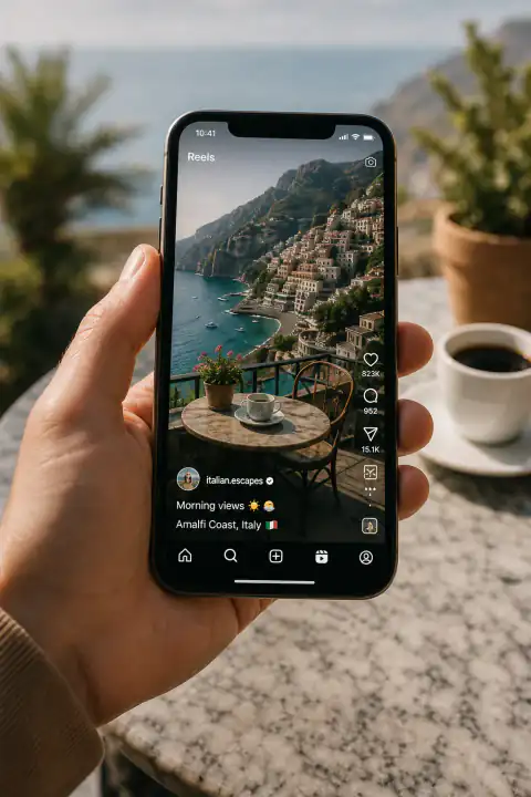
Captions, UI and watermarks get cropped out automatically. You get the place name and a Google Maps link — ready to save for the trip.
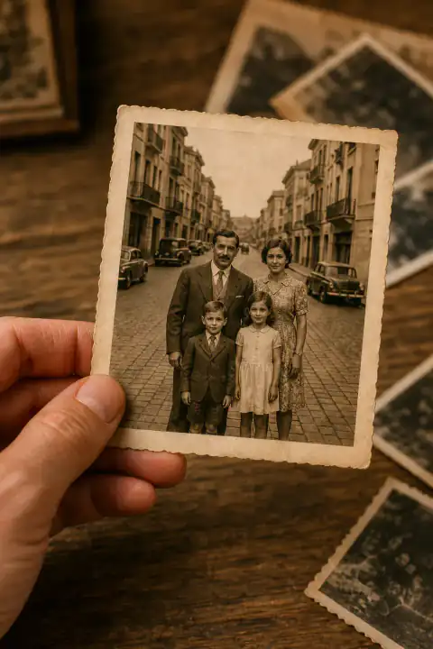
Candidate places with the reasoning behind each — and what that street looks like today. When the evidence is thin, we say so instead of guessing.
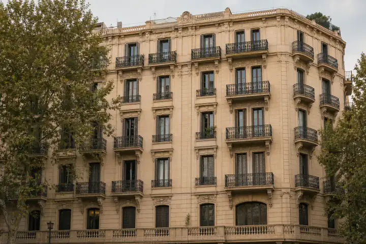
A rental listing, a marketplace car, a profile picture — see whether it really shows where they claim, with evidence you can forward.
One engine, very different questions: travelers hunting a spot they saw once, family historians placing old prints, journalists and OSINT researchers who verify a photo locati0n before publishing, and geography-game players studying the meta after a lost round.
Honest comparison — Lens · ChatGPT · Reddit
You're the normal case, not the exception. Google Lens matches your photo against images already indexed online — brilliant for famous landmarks, useless for an ordinary street corner, a private photo, or a cropped screenshot. ChatGPT names a place with total confidence — famously, even when it's wrong. This tool reads the clues inside the image and shows its work — so "where is this place located" gets a real answer, not a shrug:
| This site | Google Lens | ChatGPT | Posting on Reddit | |
|---|---|---|---|---|
| Gives you a place, not similar pictures | top 3 candidates, ranked | Landmarks & indexed images only | ||
| Works on photos that aren't online | ||||
| Handles screenshots with captions & UI | cropped out automatically | Often matches the UI itself | ||
| Shows the clues behind the answer, free | on every result | Only if you ask | that's the point | |
| Admits when it's not sure | 3 confidence tiers + "not enough evidence" | — | Rarely; famously confident when wrong | |
| Re-checks its own clues against the image | second pass; discard rate published | humans argue it out | ||
| Publishes an accuracy benchmark | public 50-photo set — 95% country | — | ||
| Source photo + conclusion map | paid unlock | Sometimes | ||
| Time to an answer | ~30 sec | Instant | 1–2 min | Hours to days |
| Cost | Free · proof from $0.10 (Plus) or $3.99 once | Free | Free tier limited | Free |
For genuinely hard photos, the humans at r/whereisthis are still the best on Earth. That's why, when our confidence is low, we hand you a ready-to-post template instead of pretending. (See below.) See how we score on the public test set
Public 50-photo test set
On our public 50-photo test set — street scenes, landmarks, indoor shots, old photos, and deliberately non-Western locati0ns — the AI currently finds the correct country in 95% of cases and the correct city in 87%. Weakest cases: indoor close-ups, and landscapes with nothing man-made in frame. There you'll see "not enough evidence" instead of a made-up photo locati0n. And every clue the AI cites is double-checked against the image before you see it; clues that fail the check get discarded — that's 9% of them, and we publish that number too.
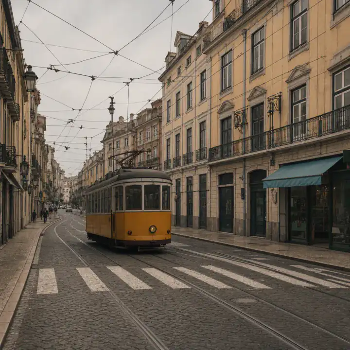
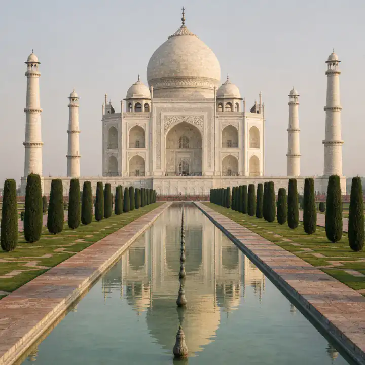
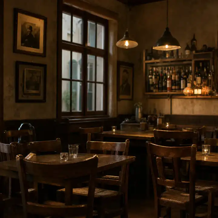
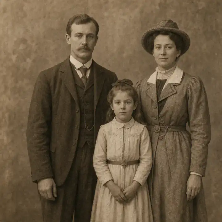
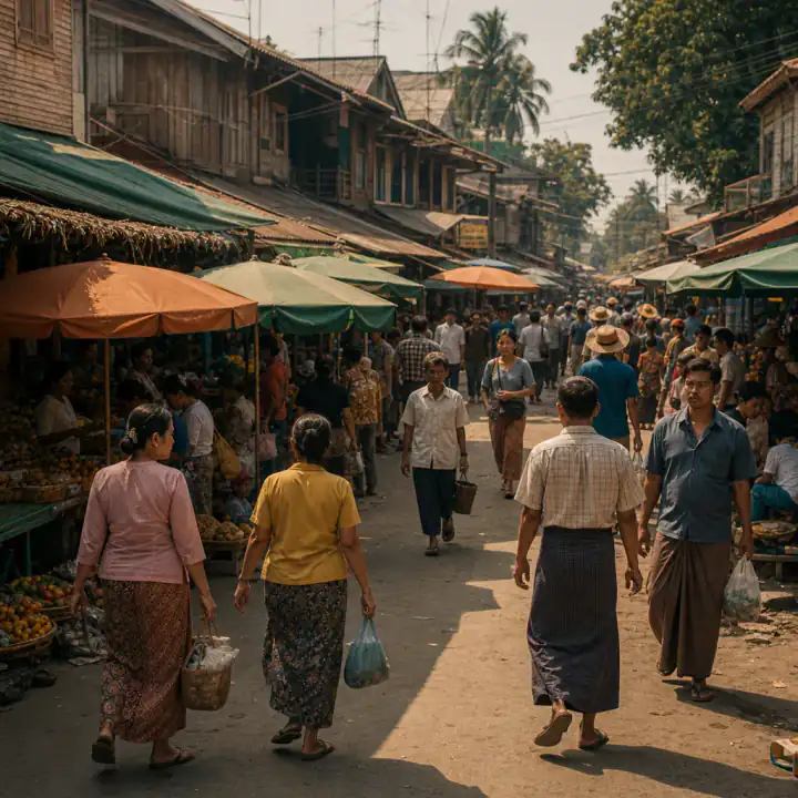
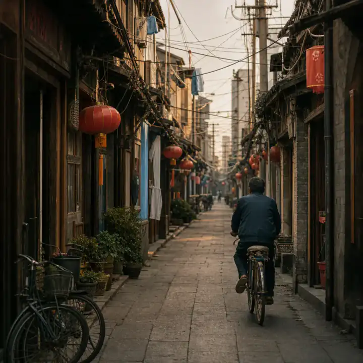
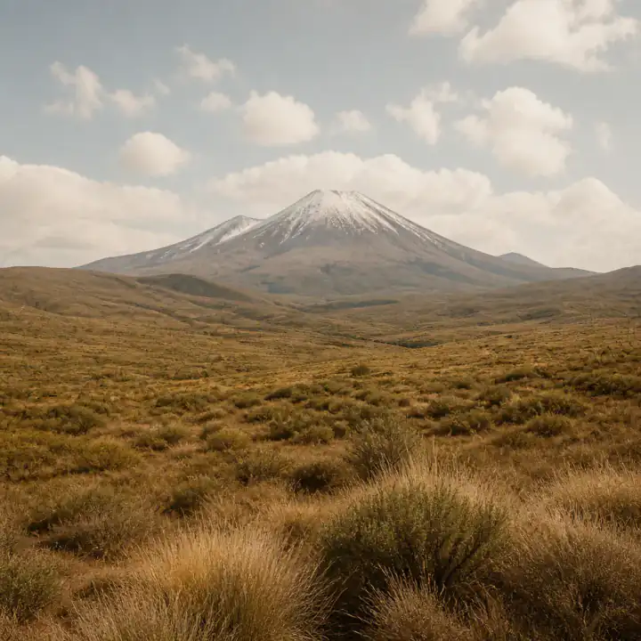
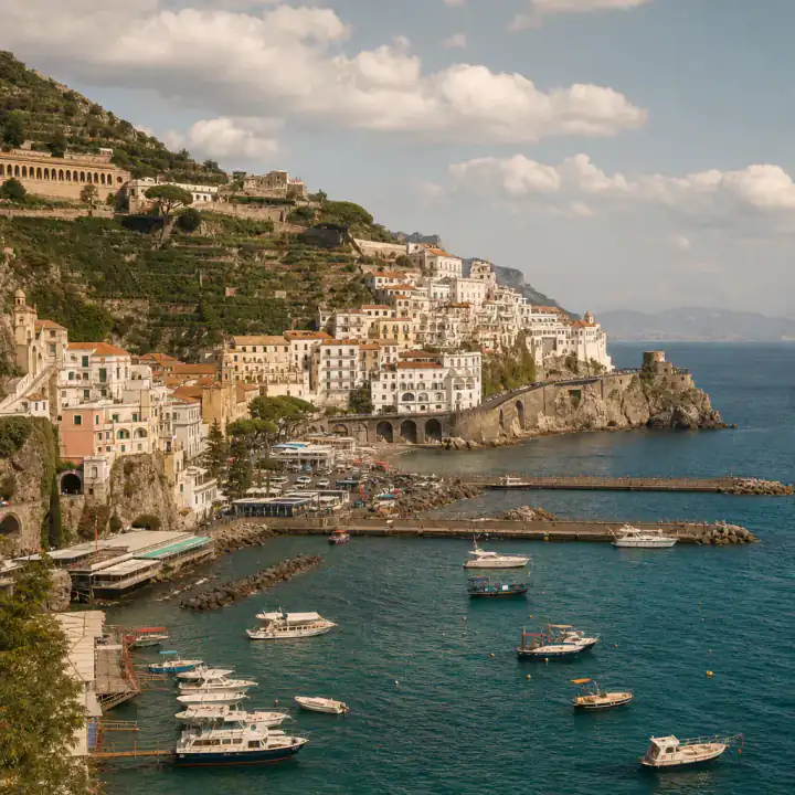
Samples from the test set — including the ones we fail
Benchmark methodology
Every accuracy claim in this industry is self-reported. Ours is too — the difference is you can reproduce it. Here's exactly how we measure whether the AI can tell where a photo was taken:
50 photos · 5 scene families · GPS stripped
Current run — same numbers as the section above
One source of truth — every number on this page traces to a run
The one-sentence version: we'd rather show you a 62% we can prove than a 99% we can't.
From people who tried it
A few notes from folks who uploaded a photo and got somewhere they could check.
 marc_from_lisbonTraveling, got curious
“Spent half a day on a ferris-wheel pic thinking southern France. GeoSpy's gone paid, Reddit was slow. Dropped it here — Portugal, and the clues matched what I could see. Free, no signup. That's all I wanted.”
 PriyaTried three other tools first · Bangalore
“Last tool I tried was so sure it was Switzerland it spit out GPS coords. Totally wrong. This one actually says how confident it is — and when it's not sure, it just says so. Huge difference.”
 Elena · BerlinPlanning a weekend trip
“Saved a TikTok café with zero locati0n tag. Lens kept showing "similar" places. Here it cropped the captions, gave me a name + Maps link for the trip. Finally something that gets phone screenshots.”
 J. OkonkwoDoes OSINT / research
“I don't need a magic pin. I need the why — signs, traffic side, vegetation — so I'm not stuck writing "the AI said so." The clue list is the useful part. Way better than naked coordinates.”
 Wei ChenChecking a rental listing · Toronto
“Listing looked too good. Ran the facade photo free — candidates + reasoning — and it wasn't even the city they claimed. Sent it to my partner in like a minute. That "is this photo real?" check is why I came.”
 nox_round47GeoGuessr player
“One search a day behind a login is useless when you're grinding rounds. Here I can re-run, read the clues, and actually learn stuff for next time. Feels like a coach, not a cheat button.”
If a photo doesn't have enough to go on, you'll see that instead of a fake-confident guess.
Simple pricing — free to ask, pay only for proof
Every photo gets a real answer — candidate places, confidence, reasoning and a map — free, with no account. Pay only when you want the full clue list, the best-supported map candidate and a permanent report. No subscription required; one is just cheaper.
Every photo, proved.
7-day money-back · cancel in two clicks · free to try first, no sign-up
For when you'd rather not commit.
Cancel anytime · 7-day money-back
Just one photo? Unlock it once for $3.99 — sign-in required. Join Plus within 7 days and that $3.99 counts toward your first payment.
The cheapest yearly ticket in this space — GeoSolver $69.99, FindPic $88, GeoSeer $108, Plus $59.99 — and the answer stays free either way.
Prices checked July 2026, from each site's public pricing page. If they've changed, tell us and we'll fix it.
Privacy first — your photo, your business
Uploads are auto-deleted within 24 hours — kept only if you choose to share your result. Nothing is used to train AI. If your photo has GPS data, it's read in your browser and never reaches our servers. And this tool identifies places, not people: using it to track someone is against our terms, and blocked.
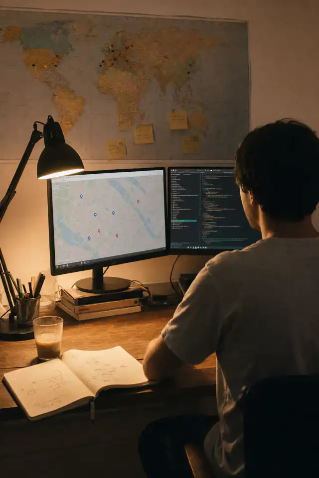
A note from the person who built this
Ray LinBuilds it · answers the emails · Singapore
Hi — I'm Ray. By day I write backend code. By night, for the last four years, I've been one of those people who dig into "where is this place located?" threads until the coffee goes cold. I keep a quiet spreadsheet of every thread I've cracked: 143 so far. The column for "what gave it away" says utility poles 31 times. Utility poles never lie.
This site is that habit, turned into something you can use in 30 seconds. Every rule in the pipeline — only cite what's visible, re-check every clue, say "not enough evidence" out loud — comes from getting shredded by r/whereisthis regulars when I got sloppy, including on my own guesses. The AI is faster than I am. I won't let it be less honest.
It's just me here. I write the code, pay the GPU bill, and read every wrong-answer report myself. If it misses your photo, tell me — I actually want to know. That's how the test set grows, and how I sleep better the next night.
Common questions — answered straight
Two ways. If the photo still has GPS metadata, that's the exact spot — we check it first, in your browser. If it was stripped, the AI reads visual clues — signs, architecture, vegetation, road markings — and gives the most likely places with a confidence level for each.
Yes — that's the main use case when you're asking where is this place located and the GPS is gone. Most photos online have no GPS data left. The AI works purely from what's visible, so accuracy depends on the clues: a street with signs beats an empty beach. You'll always see how confident the result is, and why.
Yes. Screenshots are one of the most common uploads. Captions and interface elements are cropped out automatically. To find where a screenshot was taken, pick the frame with the most background detail — buildings, signs, shoreline — rather than a close-up.
The answer is free, with no account: candidate places, confidence, reasoning and a map. Paying unlocks the full clue list, the best-supported map candidate and a permanent photo location report. Two ways: unlock a single photo for $3.99, or Plus at $59.99/year (that's $5.00 a month; $16.99 month-to-month) for 50 unlocks a month that bank up to 150. You never pay to find out whether the tool worked.
On our public test set, the correct country in 95% of cases and the correct city in 87%. Hard photos — indoors, plain landscapes — get an honest "not enough evidence" instead of a guess. Full numbers, including failures, are published and updated monthly.
It says so. Low-evidence photos get a clear "not enough evidence" (or a wide candidate list with low confidence) instead of a swaggering wrong pin. You still see the clues it found, so you can keep digging — or upload a frame with more background detail.
No training, ever. Photos auto-delete within 24 hours unless you explicitly share your result. GPS metadata is read in your browser, so those photos never even reach our servers.
Reverse image search (Google Lens, TinEye) hunts for the same or similar images online — it only works if the photo or landmark is already indexed. This tool finds the locati0n from the image itself, so it works on private photos, screenshots, and anything never posted.
Often, yes — street layout and architecture survive decades. Old photos are treated as a special case: expect candidate places and reasoning rather than a guaranteed pin, since buildings change. For the full workflow — including seeing the street today — start from the old photo page.
No. This tool identifies places, not people. Using it to locate or track private individuals is against our terms, and uploads that look like that use case get blocked. Scene, not people.
Still curious? — try a photo
Still wondering where is this place located? It's free to find out.
Free · no sign-up · deleted in 24h
